Beach temp 40°

↘️ Falling (3° over 3h)
Reolink Track Mix

EARLY THIS MORNING ⛅

Partly cloudy. Lows in the upper 30s. Light winds.

TODAY ☀️

Mostly sunny in the morning then becoming partly sunny. Highs in the mid 60s. Light winds becoming west 5 to 10 mph with gusts to around 20 mph in the afternoon.

Panorama Lake Michigan View

Expect distant vessels to glow briefly before surrendering to curvature and dark.

Current Conditions

💧
Humidity 81%
💨
Wind 0.4 mph NE
🌬️
Gusts 1.3 mph
🌡️
Pressure 29.88 inHg
🌧️
Rain Today 0 in
☀️
UV Index 0
Updated: 2:44 AM

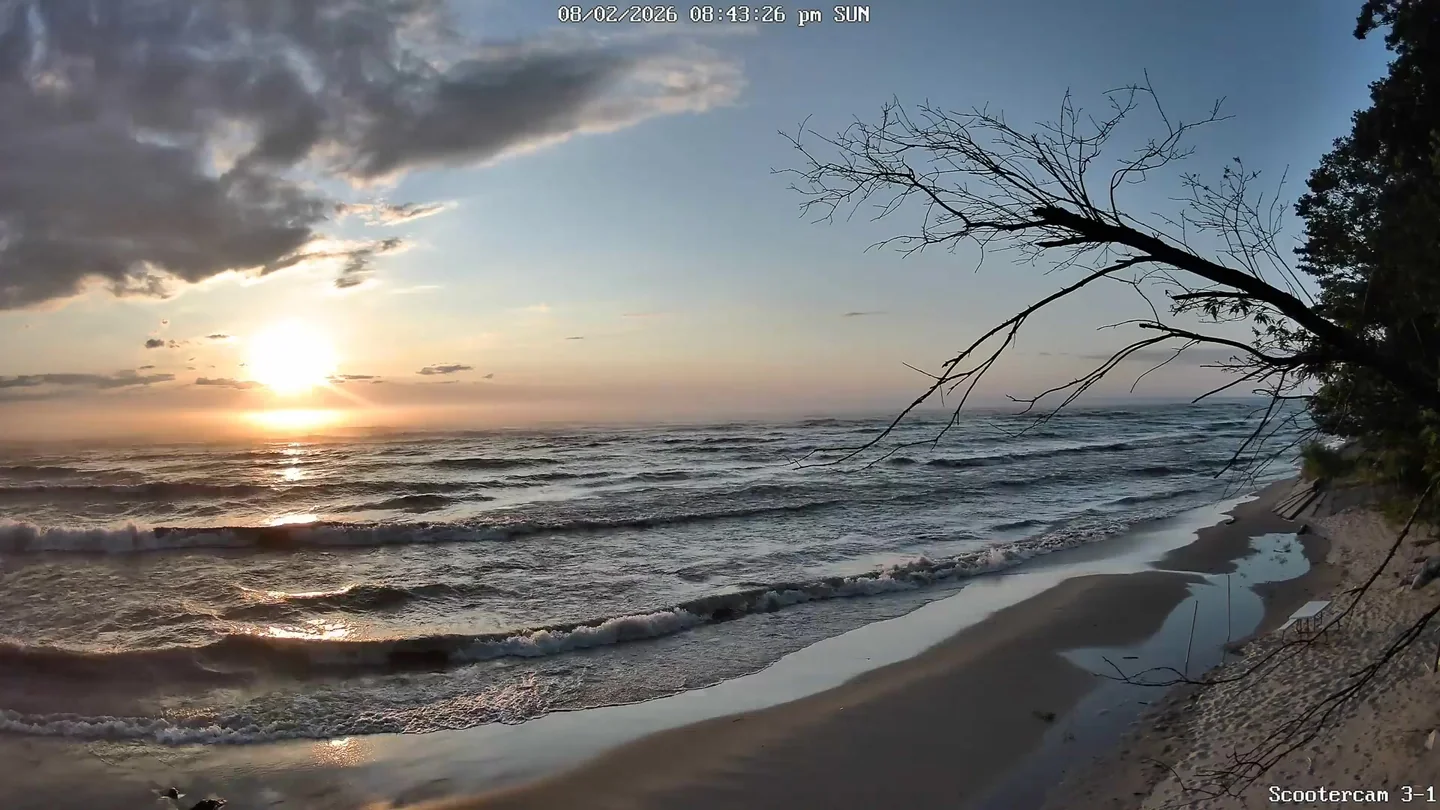
🌅 Last Night's Sunset

2026-05-07 8:52pm

Reolink Track Mix

Sun & Moon

Tonight's Moonset

No notable moonset today

Moon Phase Calendar

🌑
Last New Apr 17
🌓
1st Qtr Apr 23
🌕
Full May 1
📍
Now May 7
🌗
Last Qtr May 9
🌑
New Moon May 16
Waning gibbous — 71% illuminated

☀️ Sun Path Today

6:29 AM 1:41 PM 8:53 PM 2:49 AM 14h 23m daylight

🌙 Moon Path Today

1:48 AM 10:35 AM 2:49 AM Waning gibbous (71%)

Current Moon Phase

🌖
Phase Waning gibbous
💡
Illumination 71%
📅
Age 20 days
🌅
Moonrise 1:48 AM
🌇
Moonset 10:35 AM
Moon Sign Capricorn

South -> Center

South -> Center

Center -> North

Center -> North
24-Hour Conditions 39.7°F  ·  1.3 mph NE
Temp °F Wind Gust Wind Avg
Barometric Pressure Steady
989.7 mb 29.23 inHg
🌬️

Wind Rose

Apr 8–May 8, 2026
N: 5% 0–5 mph N: 12.9% 5–15 mph N: 1% 15–25 mph NNE: 2% 0–5 mph NNE: 1.6% 5–15 mph NNE: 0.2% 15–25 mph NE: 2.5% 0–5 mph ENE: 3.8% 0–5 mph ENE: 0% 5–15 mph E: 5.8% 0–5 mph E: 0% 5–15 mph ESE: 4.6% 0–5 mph ESE: 0% 5–15 mph SE: 3.4% 0–5 mph SE: 0% 5–15 mph SSE: 4% 0–5 mph SSE: 1.8% 5–15 mph S: 5.8% 0–5 mph S: 14.9% 5–15 mph S: 0.3% 15–25 mph SSW: 5.6% 0–5 mph SSW: 3.9% 5–15 mph SW: 3.7% 0–5 mph SW: 1.8% 5–15 mph SW: 0% 15–25 mph WSW: 1.8% 0–5 mph WSW: 1% 5–15 mph W: 1.5% 0–5 mph W: 0.6% 5–15 mph WNW: 1.9% 0–5 mph WNW: 0.3% 5–15 mph NW: 2.4% 0–5 mph NW: 0.3% 5–15 mph NNW: 3.5% 0–5 mph NNW: 2% 5–15 mph NNW: 0.1% 15–25 mph N NNE NE ENE E ESE SE SSE S SSW SW WSW W WNW NW NNW 5.2% 10.4% 15.6% 20.8%
Dominant S
Observations 8,348
Peak freq. 21%
0–5 mph
5–15 mph
15–25 mph
25+ mph

Extended Forecast

🌙⛅ TONIGHT

Partly cloudy. Lows in the upper 40s. Light winds becoming south 5 to 10 mph after midnight.

🌧️ ☀️ SATURDAY

Partly sunny in the morning then becoming mostly sunny. A 40 percent chance of rain showers. Highs in the mid 60s. Southwest winds 5 to 15 mph becoming west 10 to 15 mph in the afternoon. Gusts up to 30 mph.

🌙⛅ SATURDAY NIGHT

Partly cloudy. Lows in the lower 40s. Northwest winds around 10 mph. Gusts up to 30 mph in the evening.

☀️ SUNDAY

Sunny. Highs in the upper 50s. Light winds becoming northwest 10 to 15 mph with gusts to around 25 mph in the afternoon.

🌙 SUNDAY NIGHT

Mostly clear. Lows in the upper 30s.

☀️ MONDAY

Sunny. Highs in the mid 50s.

🌙 MONDAY NIGHT

Mostly clear. Lows in the upper 30s.

🌧️ TUESDAY

Rain showers likely. Highs in the lower 60s. Chance of rain 70 percent.

⛈️ TUESDAY NIGHT

Rain showers likely and a slight chance of thunderstorms. Lows in the mid 40s. Chance of rain 70 percent.

☀️ WEDNESDAY

Partly sunny. Highs in the lower 60s.

🌙⛅ WEDNESDAY NIGHT

Partly cloudy. Lows in the mid 40s.

☀️ THURSDAY

Mostly sunny. Highs in the upper 60s.

Fan
Heater
59.2°F
59.2% RH
No update in >2 min