
📋 What to Expect:
* WHERE...Van Buren county.
* WHEN...Until 2 AM EDT Monday.
* IMPACTS...Strong currents can pull swimmers into deeper water and high waves can sweep people off piers.
⚠️ Recommended Actions:
📋 What to Expect:
* WHERE...South Haven to Manistee.
* WHEN...Until 2 AM EDT Monday.
* IMPACTS...Conditions will be hazardous to small craft.
⚠️ Recommended Actions:

THROUGH EARLY EVENING 🌧️ ☀️
Mostly sunny with a 20 percent chance of showers. Highs around 80. North winds 10 to 15 mph with gusts to around 25 mph.
TONIGHT 🌧️ 🌙
Mostly clear. A 20 percent chance of rain showers in the evening. Lows in the mid 50s. Northeast winds 5 to 10 mph with gusts to around 25 mph in the evening becoming light.
☀️ MONDAY
Sunny. Highs around 80. Light winds becoming north 5 to 10 mph in the afternoon.
🌙 MONDAY NIGHT
Mostly clear. Lows in the lower 50s. Light winds.
☀️ TUESDAY
Sunny. Highs in the lower 80s. Light winds becoming southwest 5 to 10 mph in the afternoon.
🌙 TUESDAY NIGHT
Mostly clear. Lows in the upper 50s. Light winds.
☀️ WEDNESDAY
Mostly sunny. Highs in the lower 80s.
⛈️ WEDNESDAY NIGHT
Showers likely and a chance of thunderstorms. Lows around 60. Chance of rain 70 percent.
⛈️ THURSDAY
Showers likely and a chance of thunderstorms. Highs in the upper 70s. Chance of rain 70 percent.
🌧️ 🌙⛅ THURSDAY NIGHT
Partly cloudy with a 20 percent chance of rain showers. Lows in the upper 50s.
☀️ FRIDAY
Partly sunny in the morning then becoming mostly sunny. Highs in the lower 80s.
🌧️ 🌙⛅ FRIDAY NIGHT
Partly cloudy with a 20 percent chance of showers. Lows in the lower 60s.
🌧️ ☀️ SATURDAY
Mostly sunny with a 20 percent chance of showers. Highs in the lower 80s.
⛈️ 🌙 SATURDAY NIGHT
Mostly clear with a chance of showers and a slight chance of thunderstorms. Lows in the mid 60s. Chance of rain 30 percent.
⛈️ ☀️ SUNDAY
Mostly sunny with a 20 percent chance of showers and thunderstorms. Highs in the mid 80s.

Lake Michigan will remain indifferent to observers while providing everything they want.
Current Conditions
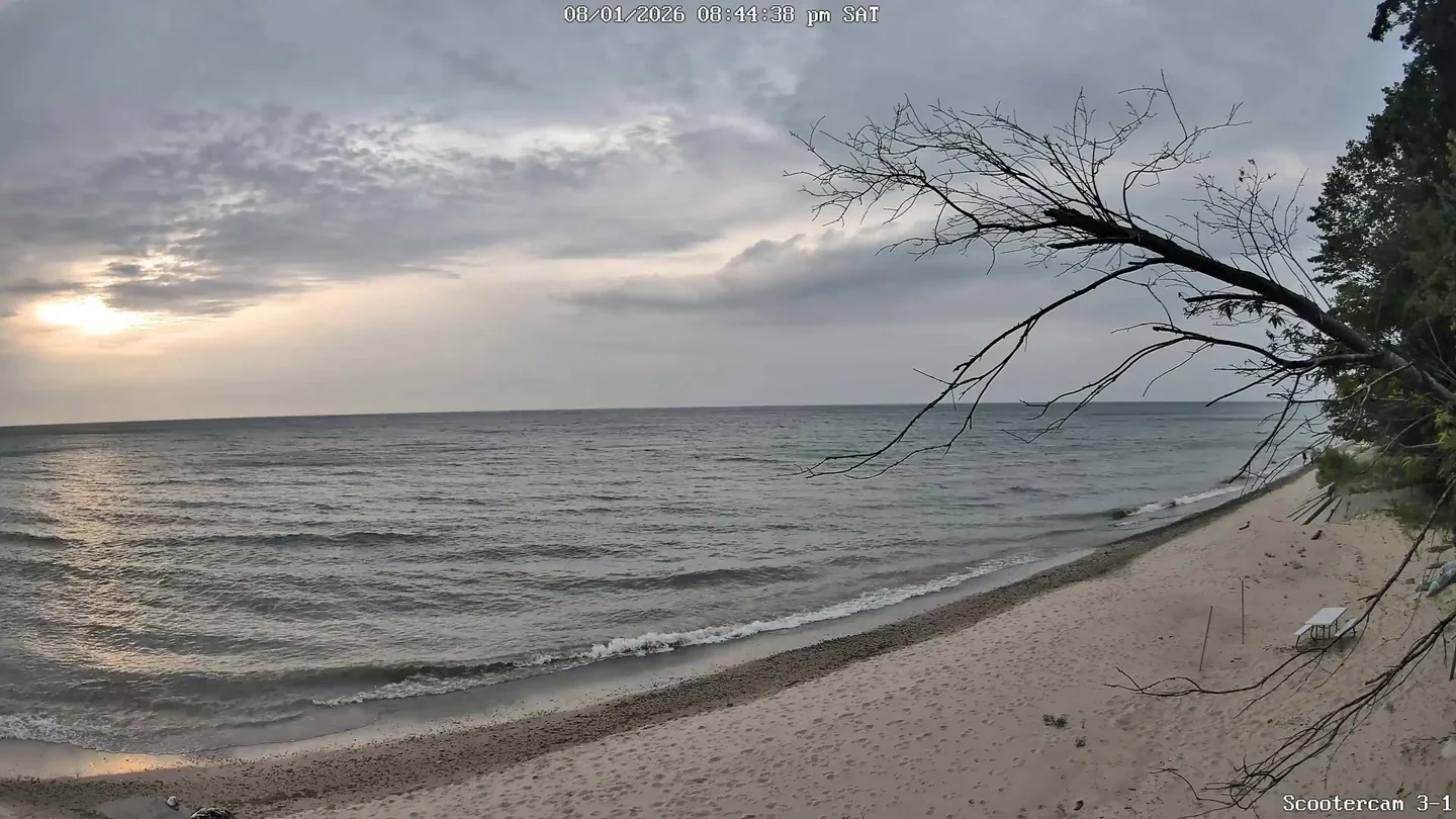
🌅 Last Night's Sunset
Sun & Moon
Tonight's Sunset
Below average sunset conditions
Moon Phase Calendar
☀️ Sun Path Today
🌙 Moon Path Today
Current Moon Phase
South -> Center

Center -> North
