

TODAY ☀️
Sunny. Highs around 80. Light winds becoming northwest 10 mph in the afternoon.
TONIGHT 🌙
Mostly clear. Lows in the mid 50s. Light winds.
☀️ TUESDAY
Sunny. Highs in the lower 80s. Light winds becoming southwest 5 to 10 mph in the afternoon.
🌙 TUESDAY NIGHT
Mostly clear. Lows around 60. Light winds.
☀️ WEDNESDAY
Mostly sunny. Highs in the lower 80s. Southwest winds around 10 mph. Gusts up to 20 mph in the afternoon.
⛈️ WEDNESDAY NIGHT
Showers likely and a chance of thunderstorms. Lows in the lower 60s. Chance of rain 70 percent.
⛈️ THURSDAY
Showers likely and a chance of thunderstorms. Highs in the upper 70s. Chance of rain 70 percent.
⛈️ 🌙⛅ THURSDAY NIGHT
Partly cloudy with a chance of rain showers and a slight chance of thunderstorms. Lows in the upper 50s. Chance of rain 50 percent.
☀️ FRIDAY
Mostly sunny. Highs in the lower 80s.
🌙⛅ FRIDAY NIGHT
Partly cloudy. Lows around 60.
☀️ SATURDAY
Partly sunny in the morning then becoming mostly sunny. Highs in the lower 80s.
⛈️ 🌙 SATURDAY NIGHT
Mostly clear with a 20 percent chance of showers and thunderstorms. Lows in the mid 60s.
⛈️ ☀️ SUNDAY
Mostly sunny with a 20 percent chance of showers and thunderstorms. Highs in the mid 80s.

The horizon will remain unobstructed for over 300 miles of freshwater curvature.
Current Conditions
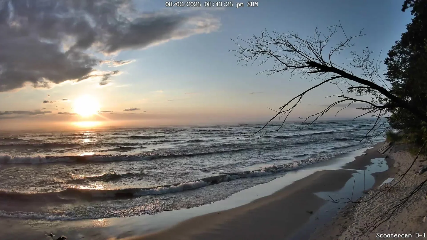
🌅 Last Night's Sunset
Sun & Moon
Moon Phase Calendar
☀️ Sun Path Today
🌙 Moon Path Today
Current Moon Phase
South -> Center

Center -> North
