
📋 What to Expect:
* WHERE...Portions of central, south central, southwest, and west
central Michigan.
* WHEN...Until 11 PM EDT this evening.
* IMPACTS...Damaging winds will blow down trees and power lines.
Power outages are expected. Travel will be difficult, especially
for high profile vehicles.
⚠️ Recommended Actions:
📋 What to Expect:
visibilities below a mile. Showers may also contain higher wind gusts
to 60 mph. With the quick reductions in visibility and high winds use
caution if traveling.

TONIGHT 🌧️ ❄️ 🌙⛅
Mostly cloudy with a 20 percent chance of snow showers in the evening, then partly cloudy after midnight. Lows in the upper 20s. West winds 20 to 30 mph with gusts to around 55 mph becoming northwest 10 to 15 mph with gusts to around 40 mph after midnight.
SATURDAY 🌧️ ❄️ ☁️
Mostly cloudy. A 20 percent chance of rain and snow showers in the afternoon. Highs in the lower 40s. North winds around 10 mph with gusts to around 25 mph in the morning becoming light.

Onshore winds may introduce moisture, increasing cloud drama.
Current Conditions
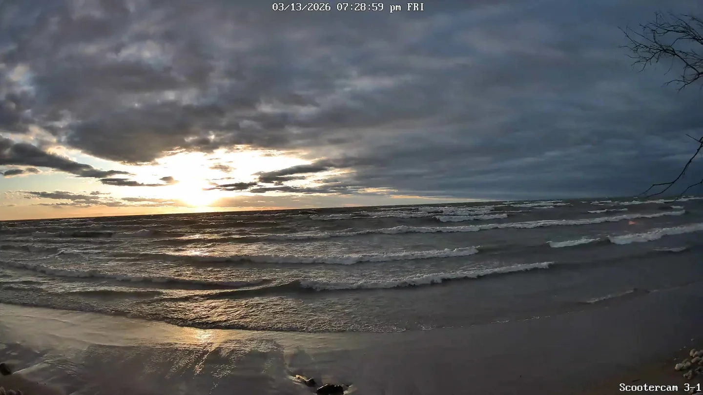
🌅 Tonight's Sunset
Sun & Moon
Moon Phase Calendar
☀️ Sun Path Today
🌙 Moon Path Today
Current Moon Phase
South -> Center

Center -> North

Wind Rose
Mar 7–Mar 13, 2026Extended Forecast
🌧️ ❄️ SATURDAY NIGHT
A chance of snow showers in the evening, then rain likely, possibly mixed with snow showers after midnight. Little or no snow accumulation. Lows in the mid 30s. Southeast winds 5 to 15 mph. Gusts up to 20 mph increasing to 30 mph after midnight. Chance of precipitation 70 percent.
⛈️ SUNDAY
Rain likely in the morning, then rain likely and a chance of thunderstorms in the afternoon. Highs in the mid 60s. Southeast winds 10 to 15 mph becoming south 15 to 20 mph in the afternoon. Gusts up to 35 mph. Chance of rain 70 percent.
⛈️ SUNDAY NIGHT
Rain and a chance of thunderstorms. Lows in the upper 20s. Southwest winds 10 to 20 mph with gusts to around 40 mph. Chance of rain 100 percent.
🌧️ ❄️ MONDAY
Snow showers. Highs in the mid 30s. Chance of snow 100 percent.
🌧️ ❄️ MONDAY NIGHT
Snow showers. Lows 15 to 20. Chance of snow 90 percent.
🌧️ ❄️ ☁️ TUESDAY
Mostly cloudy with a 50 percent chance of snow showers. Highs in the mid 20s.
🌧️ ❄️ ☁️ TUESDAY NIGHT
Mostly cloudy with a 40 percent chance of snow showers. Lows 15 to 20.
🌧️ ❄️ ☁️ WEDNESDAY
Mostly cloudy with a 40 percent chance of snow showers. Highs in the upper 30s.
🌙⛅ WEDNESDAY NIGHT
Partly cloudy. Lows in the lower 30s.
☀️ THURSDAY
Mostly sunny in the morning then becoming partly sunny. Highs in the upper 40s.
🌧️ ❄️ 🌙⛅ THURSDAY NIGHT
Mostly cloudy in the evening then becoming partly cloudy. A 20 percent chance of rain and snow showers. Lows in the lower 30s.
☀️ FRIDAY
Partly sunny. Highs in the upper 40s.