
📋 What to Expect:
* WHERE...Portions of central, south central, and southwest Michigan.
* WHEN...Until 11 PM EDT this evening.
* IMPACTS...Gusty winds will blow around unsecured objects. Tree
limbs could be blown down and a few power outages may result.
⚠️ Recommended Actions:
profile vehicles. Use extra caution.
📋 What to Expect:
Winds gusting as high as 50 mph.
* WHERE...Portions of southwest and west central Michigan.
* WHEN...Until 11 AM EDT Tuesday.
* IMPACTS...Travel could be very difficult. The hazardous conditions
will impact the Monday evening and Tuesday morning commutes. Gusty
winds could bring down tree branches.
⚠️ Recommended Actions:

THROUGH EARLY EVENING 🌧️ ❄️ 💨
Windy. Snow showers. Patchy blowing snow. New snow accumulation 1 to 2 inches. Highs in the lower 30s. Northwest winds 20 to 30 mph with gusts to around 45 mph. Chance of snow 90 percent.
TONIGHT 🌧️ ❄️
Patchy blowing snow in the evening. Snow showers. Snow accumulation 2 to 4 inches. Lows 15 to 20. Northwest winds 15 to 25 mph. Gusts up to 45 mph decreasing to 35 mph after midnight. Chance of snow 80 percent.

Wave texture will catch low-angle light, producing flickering bands of pink and copper.
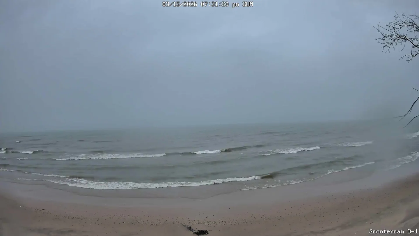
Current Conditions
🌅 Last Night's Sunset
Sun & Moon
Tonight's Sunset
Poor sunset viewing conditions
Moon Phase Calendar
☀️ Sun Path Today
🌙 Moon Path Today
Current Moon Phase
South -> Center

Center -> North

Wind Rose
Mar 7–Mar 16, 2026Extended Forecast
🌧️ ❄️ TUESDAY
Snow showers. Snow accumulation 1 to 2 inches. Highs in the mid 20s. Northwest winds 10 to 15 mph with gusts to around 30 mph. Chance of snow 80 percent.
🌧️ ❄️ ☁️ TUESDAY NIGHT
Mostly cloudy with a 40 percent chance of snow showers. Lows 15 to 20. Southwest winds 5 to 10 mph becoming south after midnight. Gusts up to 20 mph.
🌧️ ❄️ ☁️ WEDNESDAY
Mostly cloudy with a 40 percent chance of snow showers. Highs in the upper 30s. South winds 5 to 15 mph with gusts to around 25 mph.
🌧️ ☁️ WEDNESDAY NIGHT
Mostly cloudy. A 20 percent chance of rain showers after midnight. Lows in the lower 30s. South winds 5 to 10 mph. Gusts up to 20 mph in the evening.
🌧️ ☀️ THURSDAY
Partly sunny in the morning then becoming mostly sunny. A 20 percent chance of rain showers. Highs in the upper 40s.
🌙⛅ THURSDAY NIGHT
Partly cloudy. Lows in the lower 30s.
☁️ FRIDAY
Mostly cloudy. Highs in the lower 50s.
🌧️ ❄️ ☁️ FRIDAY NIGHT
Mostly cloudy with a 20 percent chance of rain and snow showers. Lows in the upper 30s.
☀️ SATURDAY
Partly sunny in the morning then becoming mostly sunny. Highs in the mid 50s.
🌧️ ❄️ 🌙⛅ SATURDAY NIGHT
Partly cloudy with a 20 percent chance of rain and snow showers. Lows in the mid 30s.
🌧️ ❄️ ☀️ SUNDAY
Partly sunny with a 20 percent chance of rain and snow showers. Highs in the lower 50s.
🌙⛅ SUNDAY NIGHT
Partly cloudy. Lows in the upper 20s.
☀️ MONDAY
Partly sunny in the morning then becoming mostly sunny. Highs in the lower 40s.