

TONIGHT 🌧️ ❄️ 🌙⛅
Mostly cloudy with a 50 percent chance of snow showers in the evening, then partly cloudy after midnight. Lows in the upper 20s. Northwest winds 15 to 25 mph with gusts to around 40 mph decreasing to 5 to 15 mph with gusts to around 30 mph after midnight.
THURSDAY ☀️
Sunny. Highs in the lower 40s. West winds 5 to 15 mph with gusts to around 25 mph.

Broken stratocumulus clouds add depth and motion to fading light.
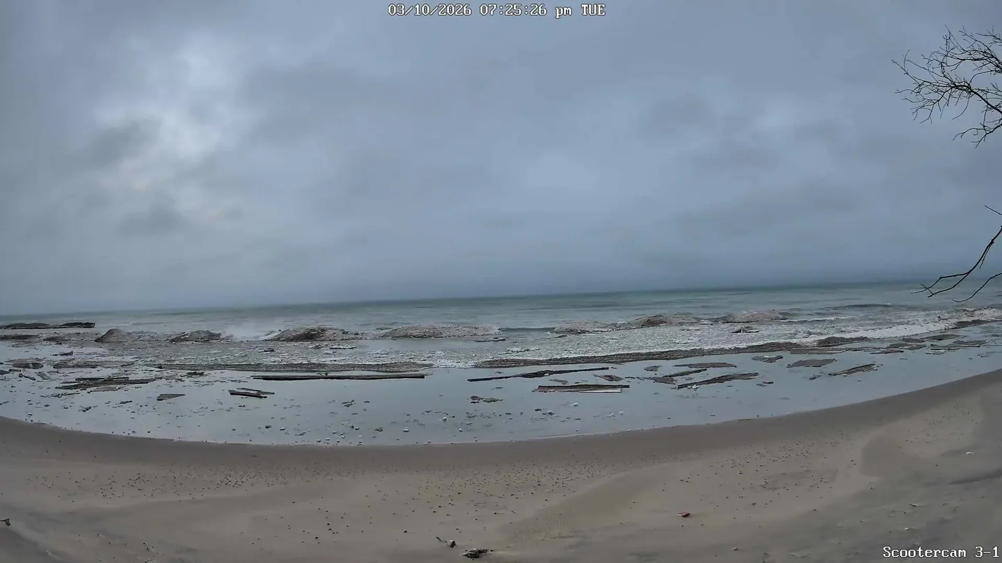
Current Conditions
🌅 Last Night's Sunset
Sun & Moon
Tonight's Sunset
Poor sunset viewing conditions
Moon Phase Calendar
☀️ Sun Path Today
🌙 Moon Path Today
Current Moon Phase
South -> Center

Center -> North

Wind Rose
Mar 7–Mar 11, 2026Extended Forecast
🌧️ ❄️ 🌙⛅ THURSDAY NIGHT
Partly cloudy with a chance of rain and snow showers in the evening, then rain showers likely, possibly mixed with snow showers after midnight. Lows in the mid 30s. South winds 5 to 10 mph with gusts to around 20 mph increasing to 15 to 25 mph with gusts to around 50 mph after midnight. Chance of precipitation 70 percent.
🌧️ 💨 FRIDAY
Windy. Rain showers likely in the morning, then a slight chance of rain showers in the afternoon. Highs in the mid 40s. West winds 20 to 30 mph with gusts to around 50 mph. Chance of rain 70 percent.
🌙⛅ FRIDAY NIGHT
Partly cloudy. Lows in the mid 20s. Northwest winds 15 to 20 mph with gusts to around 40 mph decreasing to 5 to 15 mph with gusts to around 30 mph after midnight.
☁️ SATURDAY
Mostly cloudy. Highs around 40.
🌧️ ❄️ SATURDAY NIGHT
Snow showers, possibly mixed with rain showers. Lows around 30. Chance of precipitation 70 percent.
⛈️ ❄️ SUNDAY
Rain showers, possibly mixed with snow showers and thunderstorms. Highs around 50. Chance of precipitation 90 percent.
⛈️ ❄️ SUNDAY NIGHT
Rain showers, snow showers and thunderstorms. Lows in the lower 20s. Chance of precipitation 90 percent.
🌧️ ❄️ MONDAY
Snow showers likely. Highs in the upper 20s. Chance of snow 70 percent.
🌧️ ❄️ ☁️ MONDAY NIGHT
Mostly cloudy with a 40 percent chance of snow showers. Lows 15 to 20.
🌧️ ❄️ ☁️ TUESDAY
Mostly cloudy with a 40 percent chance of snow showers. Highs in the upper 20s.
🌧️ ❄️ 🌙⛅ TUESDAY NIGHT
Mostly cloudy in the evening then becoming partly cloudy. A 30 percent chance of snow showers. Lows 15 to 20.
🌧️ ❄️ ☁️ WEDNESDAY
Mostly cloudy with a 20 percent chance of snow showers. Highs in the upper 30s.