
📋 What to Expect:
develop. Ice accumulations could be sporadic and hard to see on
roadways, bridges, and overpasses. This will make the morning
commute hazardous. Warming temperatures after sunrise should
eliminate slippery conditions by late morning.
Drivers are urged to use caution when traveling this morning and be
prepared for highly variable road conditions.

EARLY THIS MORNING 🌧️ ☁️
Mostly cloudy with a chance of light freezing rain and rain showers. Lows in the lower 30s. Light winds. Chance of precipitation 40 percent.
TODAY 🌧️ ☀️
Partly sunny with a chance of rain showers, possibly mixed with freezing rain in the morning, then mostly sunny with a slight chance of rain showers in the afternoon. Highs in the lower 50s. Light winds. Chance of precipitation 40 percent.

Lake Michigan will continue functioning as a freshwater ocean despite all objections.
Current Conditions
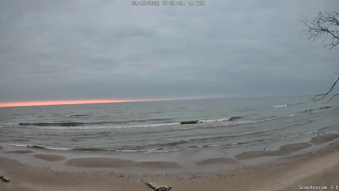
🌅 Last Night's Sunset
Sun & Moon
Tonight's Moonset
Moon Phase Calendar
☀️ Sun Path Today
🌙 Moon Path Today
Current Moon Phase
South -> Center

Center -> North

Wind Rose
Mar 7–Mar 19, 2026Extended Forecast
🌙⛅ TONIGHT
Partly cloudy in the evening then becoming mostly cloudy. Lows in the upper 30s. Light winds becoming south 5 to 10 mph after midnight.
☁️ FRIDAY
Mostly cloudy. Highs in the lower 50s near Lake Michigan in the mid 50s inland. Southwest winds 5 to 10 mph becoming west in the afternoon. Gusts up to 20 mph.
☁️ FRIDAY NIGHT
Mostly cloudy. Lows in the upper 30s. North winds around 10 mph.
☀️ SATURDAY
Partly sunny in the morning then becoming mostly sunny. Highs in the mid 50s near Lake Michigan and around 60 inland. Light winds becoming southwest 5 to 10 mph in the afternoon.
🌙⛅ SATURDAY NIGHT
Partly cloudy. Lows in the mid 40s.
🌧️ ☁️ SUNDAY
Mostly cloudy with a 40 percent chance of rain showers. Highs around 60.
☁️ SUNDAY NIGHT
Mostly cloudy. Lows in the upper 20s.
☀️ MONDAY
Partly sunny in the morning then becoming mostly sunny. Highs in the lower 40s.
🌙⛅ MONDAY NIGHT
Partly cloudy. Lows in the upper 20s.
☀️ TUESDAY
Partly sunny. Highs in the upper 40s.
🌙⛅ TUESDAY NIGHT
Partly cloudy. Lows around 30.
☁️ WEDNESDAY
Mostly cloudy. Highs in the mid 50s.