

TONIGHT 🌧️ 🌙⛅
Partly cloudy in the evening, then mostly cloudy with a 20 percent chance of rain showers after midnight. Lows in the upper 40s near Lake Michigan in the mid 50s inland. South winds around 10 mph.
TUESDAY ☁️
Mostly cloudy. Highs around 60 near Lake Michigan in the upper 60s inland. Southwest winds 5 to 10 mph becoming southeast in the afternoon.

Expect atmospheric refraction near sunset, briefly lifting distant ships above the waterline like misplaced thoughts.
Current Conditions
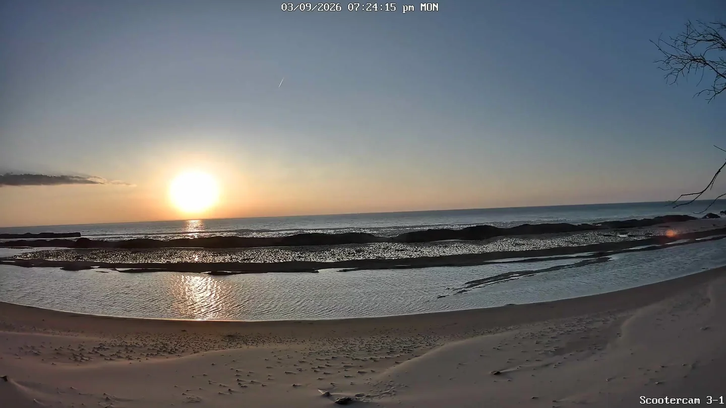
🌅 Last Night's Sunset
Sun & Moon
Moon Phase Calendar
☀️ Sun Path Today
🌙 Moon Path Today
Current Moon Phase
South -> Center

Center -> North

Wind Rose
Mar 7–Mar 10, 2026Extended Forecast
⛈️ TUESDAY NIGHT
Rain showers with thunderstorms likely. Lows in the lower 40s. East winds 5 to 10 mph becoming southwest after midnight. Gusts up to 20 mph. Chance of rain 100 percent.
⛈️ WEDNESDAY
Rain showers and a slight chance of thunderstorms in the morning, then rain showers in the afternoon. Highs in the upper 40s near Lake Michigan in the mid 50s inland. West winds 5 to 15 mph. Gusts up to 20 mph increasing to 35 mph in the afternoon. Chance of rain 100 percent.
🌧️ ❄️ 🌙⛅ WEDNESDAY NIGHT
Rain showers likely, possibly mixed with snow showers in the evening, then partly cloudy with a slight chance of snow showers after midnight. Little or no snow accumulation. Lows in the upper 20s. Northwest winds 5 to 15 mph with gusts to around 35 mph. Chance of precipitation 60 percent.
☀️ THURSDAY
Sunny. Highs in the lower 40s.
🌧️ ❄️ THURSDAY NIGHT
Rain and snow showers likely. Lows in the mid 30s. Chance of precipitation 70 percent.
🌧️ ☀️ FRIDAY
Partly sunny with a 40 percent chance of rain showers. Highs in the mid 40s.
🌙⛅ FRIDAY NIGHT
Partly cloudy in the evening then becoming mostly cloudy. Lows in the upper 20s.
🌧️ ❄️ ☁️ SATURDAY
Mostly cloudy with a 40 percent chance of snow showers, possibly mixed with rain showers. Highs in the lower 40s.
🌧️ ❄️ SATURDAY NIGHT
Rain and snow showers likely. Lows in the lower 30s. Chance of precipitation 70 percent.
🌧️ ❄️ SUNDAY
Rain and snow showers. Highs in the mid 40s. Chance of precipitation 90 percent.
🌧️ ❄️ SUNDAY NIGHT
Snow showers, possibly mixed with rain showers. Lows in the lower 20s. Chance of precipitation 60 percent.
🌧️ ❄️ ☁️ MONDAY
Mostly cloudy with a 50 percent chance of snow showers. Highs in the lower 30s.