
📋 What to Expect:
knots and waves 6 to 11 feet.
* WHERE...St Joseph to Manistee.
* WHEN...Until 11 AM EDT this morning.
* IMPACTS...Conditions will be hazardous to small craft.
⚠️ Recommended Actions:
vessels, should avoid navigating in hazardous conditions.

EARLY THIS MORNING ⛅
Partly cloudy. Lows in the upper 20s. Northwest winds 5 to 10 mph with gusts to around 30 mph.
TODAY ☀️
Partly sunny. Highs in the lower 40s. Light winds.

Evening temperatures near shore will remain steadier than inland readings suggest.
Current Conditions
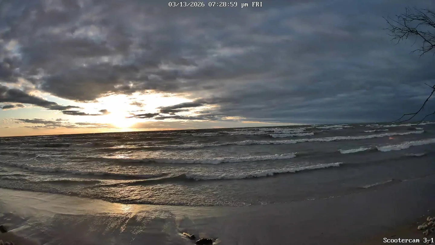
🌅 Last Night's Sunset
Sun & Moon
Tonight's Moonset
Moon Phase Calendar
☀️ Sun Path Today
🌙 Moon Path Today
Current Moon Phase
South -> Center

Center -> North

Wind Rose
Mar 7–Mar 14, 2026Extended Forecast
🌧️ ❄️ ☁️ TONIGHT
Cloudy. A chance of snow showers in the evening, then a chance of rain and snow showers after midnight. Lows in the mid 30s. Southeast winds 5 to 15 mph. Gusts up to 20 mph increasing to 30 mph after midnight. Chance of precipitation 50 percent.
🌧️ ☁️ SUNDAY
Mostly cloudy with a 50 percent chance of rain showers. Highs in the mid 60s. Southeast winds 15 to 20 mph becoming south 15 to 25 mph in the afternoon. Gusts up to 45 mph.
⛈️ ❄️ SUNDAY NIGHT
Rain showers in the evening, then rain showers, possibly mixed with snow showers and thunderstorms after midnight. Lows in the upper 20s. South winds 15 to 25 mph with gusts to around 45 mph. Chance of precipitation 100 percent.
🌧️ ❄️ MONDAY
Snow showers, possibly mixed with rain showers in the morning, then snow showers in the afternoon. Snow accumulation 1 to 2 inches. Highs in the mid 30s. West winds 15 to 25 mph with gusts to around 50 mph. Chance of precipitation 100 percent.
🌧️ ❄️ MONDAY NIGHT
Snow showers. Lows 15 to 20. Chance of snow 90 percent.
🌧️ ❄️ ☁️ TUESDAY
Mostly cloudy with a 50 percent chance of snow showers. Highs in the lower 20s.
🌧️ ❄️ ☁️ TUESDAY NIGHT
Mostly cloudy with a 40 percent chance of snow showers. Lows 15 to 20.
🌧️ ❄️ ☁️ WEDNESDAY
Mostly cloudy with a 40 percent chance of snow showers. Highs in the upper 30s.
🌙⛅ WEDNESDAY NIGHT
Partly cloudy. Lows in the lower 30s.
☀️ THURSDAY
Mostly sunny in the morning then becoming partly sunny. Highs around 50.
🌧️ 🌙⛅ THURSDAY NIGHT
Partly cloudy in the evening then becoming mostly cloudy. A 20 percent chance of rain showers. Lows in the mid 30s.
☁️ FRIDAY
Mostly cloudy. Highs around 50.