

Current Conditions
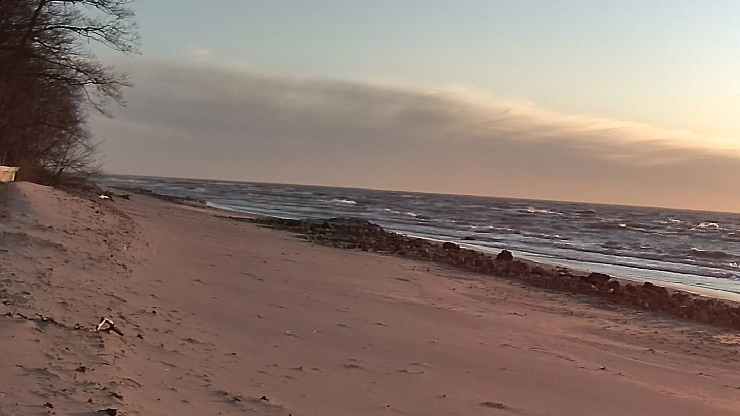
SW View
Scootercam Forecast
REST OF TONIGHT 🌧️ ❄️
Rain and snow showers likely after midnight. Little or no snow accumulation. Lows in the upper 20s. West winds 10 to 15 mph with gusts to around 30 mph. Chance of precipitation 70 percent.
WEDNESDAY 🌧️ ❄️
Snow showers. Patchy blowing snow. Snow accumulation 1 to 4 inches. Highs in the lower 30s. Northwest winds 15 to 25 mph with gusts to around 40 mph. Chance of snow 90 percent.
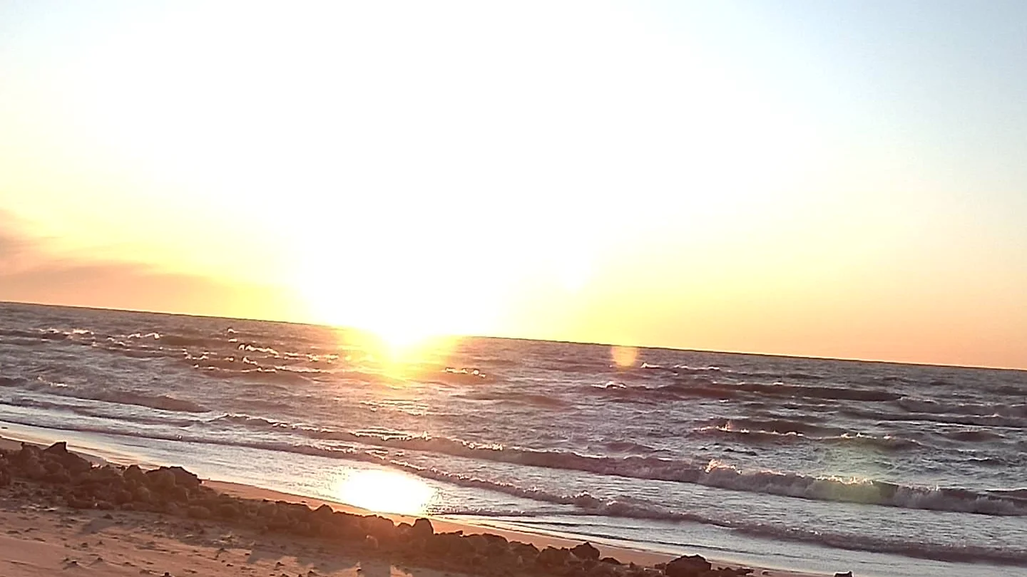
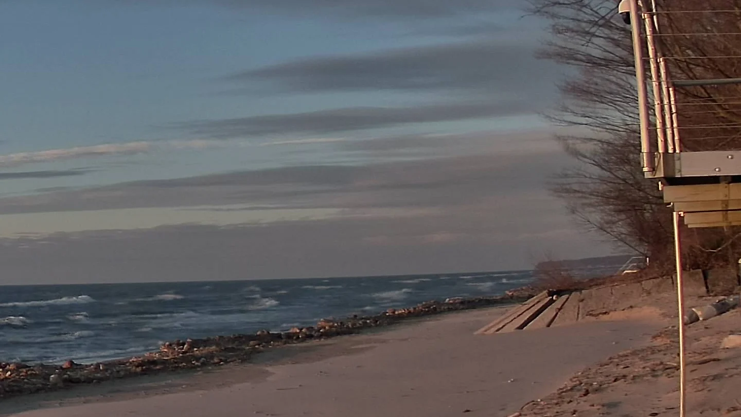
WSW View
Next 24 Hours
| Time | Conditions | Temp | Feels | Precip | Wind | Humidity |
|---|---|---|---|---|---|---|
| Tue 11pm | ☁️ Partly Cloudy | 39° | 30° | 10% | 22.4 mph | 84% |
| Wed 12am | ☁️ Partly Cloudy | 39° | 28° | 15% | 22.4 mph | 84% |
| Wed 1am | ☁️ Partly Cloudy | 39° | 28° | 10% | 22.4 mph | 83% |
| Wed 2am | ☁️ Cloudy | 37° | 27° | 10% | 24.6 mph | 83% |
| Wed 3am | 🌧️ Rain Possible | 37° | 27° | 20% | 24.6 mph | 84% |
| Wed 4am | 🌧️ Rain Possible | 36° | 25° | 25% | 26.8 mph | 86% |
| Wed 5am | 🌡️ Snow Possible | 36° | 21° | 45% | 29.1 mph | 85% |
| Wed 6am | ❄️ Snow Likely | 32° | 18° | 50% | 31.3 mph | 84% |
| Wed 7am | 🌡️ Snow Possible | 30° | 14° | 40% | 31.3 mph | 81% |
| Wed 8am | 🌡️ Snow Possible | 28° | 10° | 40% | 33.6 mph | 81% |
| Wed 9am | 🌡️ Snow Possible | 27° | 10° | 40% | 33.6 mph | 79% |
| Wed 10am | 🌡️ Snow Possible | 27° | 9° | 40% | 31.3 mph | 78% |
| Wed 11am | 💨 Windy | 25° | 9° | 40% | 33.6 mph | 77% |
| Wed 12pm | 💨 Windy | 25° | 9° | 40% | 33.6 mph | 77% |
| Wed 1pm | 🌡️ Snow Possible | 25° | 7° | 45% | 33.6 mph | 76% |
| Wed 2pm | ❄️ Snow Likely | 25° | 7° | 50% | 33.6 mph | 76% |
| Wed 3pm | 💨 Windy | 25° | 7° | 40% | 33.6 mph | 75% |
| Wed 4pm | 💨 Windy | 25° | 7° | 35% | 33.6 mph | 75% |
| Wed 5pm | 💨 Windy | 25° | 7° | 35% | 33.6 mph | 73% |
| Wed 6pm | ❄️ Snow Likely | 25° | 7° | 50% | 33.6 mph | 72% |
| Wed 7pm | ❄️ Snow Likely | 25° | 7° | 55% | 33.6 mph | 73% |
| Wed 8pm | 🌡️ Snow Possible | 25° | 7° | 45% | 31.3 mph | 73% |
| Wed 9pm | 🌡️ Snow Possible | 25° | 7° | 40% | 31.3 mph | 72% |
| Wed 10pm | 🌡️ Snow Possible | 23° | 7° | 40% | 26.8 mph | 73% |
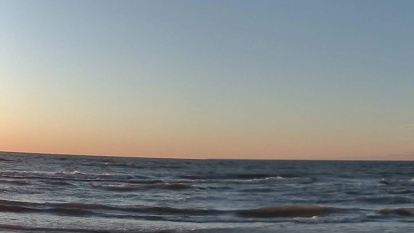
Center View
10-Day Forecast
| Day | Conditions | High | Low | Precip | Wind |
|---|---|---|---|---|---|
| Tue, Jan 13 | ☁️ Partly Cloudy | 43° | 34° | 10% (0") | 0 mph |
| Wed, Jan 14 | ❄️ Snow Likely | 39° | 23° | 60% (0") | 0 mph |
| Thu, Jan 15 | ❄️ Snow Likely | 25° | 19° | 60% (0") | 0 mph |
| Fri, Jan 16 | ❄️ Snow Likely | 34° | 25° | 70% (0") | 0 mph |
| Sat, Jan 17 | ❄️ Snow Likely | 30° | 21° | 50% (0") | 0 mph |
| Sun, Jan 18 | ❄️ Snow Likely | 21° | 18° | 50% (0") | 0 mph |
| Mon, Jan 19 | ❄️ Snow Likely | 19° | 18° | 50% (0") | 0 mph |
| Tue, Jan 20 | 🌡️ Snow Possible | 18° | 14° | 40% (0") | 0 mph |
| Wed, Jan 21 | 🌡️ Snow Possible | 25° | 16° | 20% (0") | 0 mph |
| Thu, Jan 22 | 🌡️ Snow Possible | 28° | 23° | 30% (0") | 0 mph |
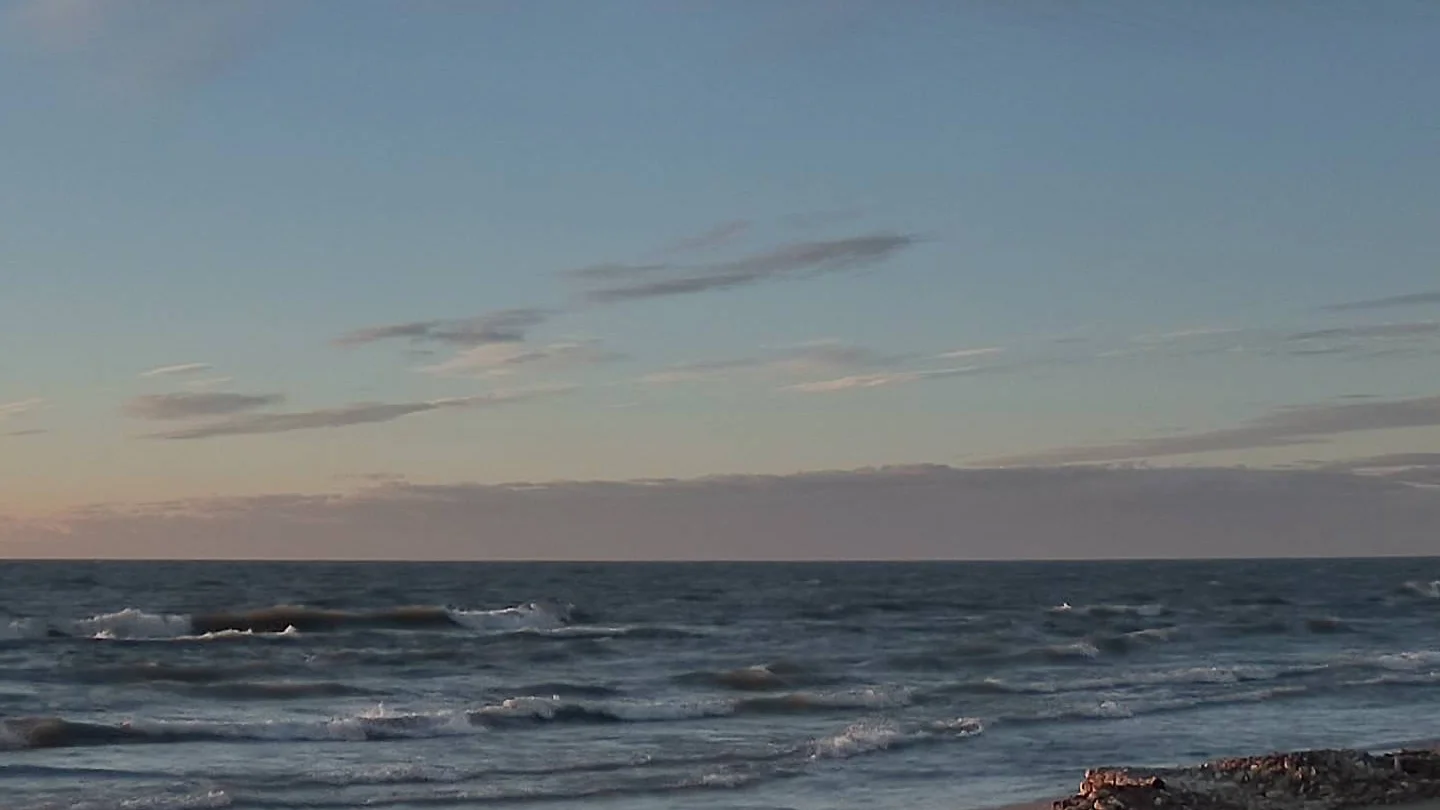
WNW View
Marine Forecast
🌧️ ❄️ 💨 🌊 REST OF TONIGHT
Northwest winds to 30 knots. Snow showers likely and a slight chance of rain showers after midnight. Waves 4 to 6 feet building to 6 to 9 feet after midnight.
🌧️ ❄️ 🌬️💨 🌊 WEDNESDAY
North gales to 40 knots. Snow showers. Freezing spray. Waves 10 to 14 feet.
🌧️ ❄️ 🌬️💨 🌊 WEDNESDAY NIGHT
North gales to 40 knots decreasing to 30 knots after midnight. Snow showers. Freezing spray. Waves 10 to 14 feet.
NW View
Extended Forecast
🌧️ ❄️ WEDNESDAY NIGHT
Snow showers in the evening, then snow showers likely after midnight. Snow may be heavy at times in the evening. Snow accumulation 3 to 6 inches. Lows 15 to 20. North winds 5 to 15 mph. Gusts up to 40 mph decreasing to 30 mph after midnight. Chance of snow 100 percent.
🌧️ ❄️ ☀️ THURSDAY
Partly sunny. A 50 percent chance of snow showers in the morning. Highs in the mid 20s. North winds 5 to 10 mph becoming west in the afternoon. Gusts up to 20 mph.
🌧️ ❄️ 🌙⛅ THURSDAY NIGHT
Partly cloudy with a chance of snow showers in the evening, then snow showers after midnight. Snow accumulation 1 to 2 inches. Lows 15 to 20. Southwest winds 5 to 15 mph with gusts to around 30 mph. Chance of snow 90 percent.
🌧️ ❄️ FRIDAY
Snow showers. Highs in the mid 30s. Chance of snow 100 percent.
🌧️ ❄️ FRIDAY NIGHT
Snow showers. Lows 15 to 20. Chance of snow 100 percent.
🌧️ ❄️ SATURDAY
Snow showers. Highs in the mid 20s. Chance of snow 90 percent.
🌧️ ❄️ SATURDAY NIGHT
Snow showers likely. Lows 10 to 15. Chance of snow 70 percent.
🌧️ ❄️ SUNDAY
Snow showers likely. Highs in the lower 20s. Chance of snow 70 percent.
🌧️ ❄️ SUNDAY NIGHT
Snow showers likely. Lows near 10. Chance of snow 70 percent.
🌧️ ❄️ MARTIN LUTHER KING JR DAY
Snow showers likely. Highs 15 to 20. Chance of snow 70 percent.
🌧️ ❄️ ☁️ MONDAY NIGHT
Mostly cloudy with a 50 percent chance of snow showers. Lows 5 to 10 above.
🌧️ ❄️ ☁️ TUESDAY
Mostly cloudy with a 40 percent chance of snow showers. Highs 15 to 20.
Cameras
Scootercam's main camera now is a Reolink Duo 3, essentially two cameras stitched together side-by-side. The result is a very wide, panoramic view - 7680 x 2160 pixels. That's wide enough that we can point the camera west and crop several views from the left side to the right. Right now we crop 5 views. The center view sometimes shows problems stitching together an image from the two cameras, so the Dou 3 does have its limitations. To reach its potential, the system still needs a dedicated, west-facing camera.
As of January 11, the Reolink pan-tilt-zoom camera is still out of service. Scootercam's old workhorse camera, installed on the "gallows" on the wall, is also out of service and presumed dead.
Recent Sunsets
Sunset archive coming soon.