
📋 What to Expect:
knots with gusts up to 25 knots and waves 3 to 6 feet. For the
Gale Warning, west winds 20 to 30 knots with gusts up to 35
knots and waves 6 to 11 feet expected. For the Heavy Freezing
Spray Warning, heavy freezing spray at a rate of up to one
inch per hour expected, and may rapidly accumulate on vessels.
* WHERE...St Joseph to Pentwater.
* WHEN...For the Small Craft Advisory, until 4 PM EST Wednesday.
For the Gale Warning, from 4 PM Wednesday to 7 AM EST Friday.
For the Heavy Freezing Spray Warning, from 10 PM Wednesday to
4 AM EST Saturday.
* IMPACTS...Operating a vessel in heavy freezing spray is
hazardous. Freezing spray may render mechanical and electronic
components inoperative. Rapid ice accretion on decks and
superstructures may result in a catastrophic loss of
stability. Strong winds will cause hazardous waves which could
capsize or damage vessels and reduce visibility.
⚠️ Recommended Actions:
their vessel. If possible, remain in port, avoid the warning area
or conduct mitigation.
Mariners should alter plans to avoid these hazardous conditions.
Remain in port, seek safe harbor, alter course, and/or secure the
vessel for hazardous conditions.
📋 What to Expect:
inches.
* WHERE...Portions of south central and southwest Michigan.
* WHEN...From 1 AM to 10 AM EST Wednesday.
* IMPACTS...Plan on slippery road conditions. The hazardous
conditions could impact the Wednesday morning commute.
⚠️ Recommended Actions:
📋 What to Expect:
knots with gusts up to 25 knots and waves 3 to 6 feet. For the
Gale Warning, west winds 20 to 30 knots with gusts up to 35
knots and waves 6 to 11 feet expected. For the Heavy Freezing
Spray Warning, heavy freezing spray at a rate of up to one
inch per hour expected, and may rapidly accumulate on vessels.
* WHERE...St Joseph to Pentwater.
* WHEN...For the Small Craft Advisory, until 4 PM EST Wednesday.
For the Gale Warning, from 4 PM Wednesday to 7 AM EST Friday.
For the Heavy Freezing Spray Warning, from 10 PM Wednesday to
4 AM EST Saturday.
* IMPACTS...Operating a vessel in heavy freezing spray is
hazardous. Freezing spray may render mechanical and electronic
components inoperative. Rapid ice accretion on decks and
superstructures may result in a catastrophic loss of
stability. Strong winds will cause hazardous waves which could
capsize or damage vessels and reduce visibility.
⚠️ Recommended Actions:
their vessel. If possible, remain in port, avoid the warning area
or conduct mitigation.
Mariners should alter plans to avoid these hazardous conditions.
Remain in port, seek safe harbor, alter course, and/or secure the
vessel for hazardous conditions.
📋 What to Expect:
knots with gusts up to 25 knots and waves 3 to 6 feet. For the
Gale Warning, west winds 20 to 30 knots with gusts up to 35
knots and waves 6 to 11 feet expected. For the Heavy Freezing
Spray Warning, heavy freezing spray at a rate of up to one
inch per hour expected, and may rapidly accumulate on vessels.
* WHERE...St Joseph to Pentwater.
* WHEN...For the Small Craft Advisory, until 4 PM EST Wednesday.
For the Gale Warning, from 4 PM Wednesday to 7 AM EST Friday.
For the Heavy Freezing Spray Warning, from 10 PM Wednesday to
4 AM EST Saturday.
* IMPACTS...Operating a vessel in heavy freezing spray is
hazardous. Freezing spray may render mechanical and electronic
components inoperative. Rapid ice accretion on decks and
superstructures may result in a catastrophic loss of
stability. Strong winds will cause hazardous waves which could
capsize or damage vessels and reduce visibility.
⚠️ Recommended Actions:
their vessel. If possible, remain in port, avoid the warning area
or conduct mitigation.
Mariners should alter plans to avoid these hazardous conditions.
Remain in port, seek safe harbor, alter course, and/or secure the
vessel for hazardous conditions.
Humidity lingers, as clingy as a Cabernet stain.
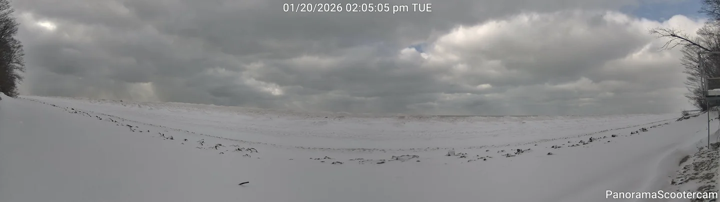
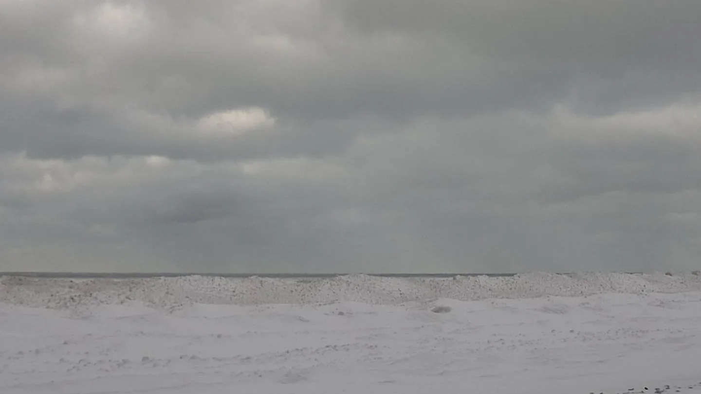
Current Conditions
SW View
Sun & Moon
Tonight's Sunset
Below average sunset conditions
Tonight's Moonset
Moon Phase Calendar
Sun Path Today
Moon Path Today
Current Moon Phase
REST OF TONIGHT 🌧️ ❄️
Snow showers. New snow accumulation 1 to 2 inches. Lows near 10. South winds 5 to 10 mph with gusts to around 25 mph. Chance of snow 90 percent.
WEDNESDAY 🌧️ ❄️
Snow showers in the morning, then a slight chance of snow showers in the afternoon. Snow may be heavy at times in the morning. Snow accumulation 1 to 3 inches. Highs in the lower 30s. Southwest winds 5 to 15 mph becoming west 10 to 15 mph in the afternoon. Gusts up to 25 mph. Chance of snow 90 percent.
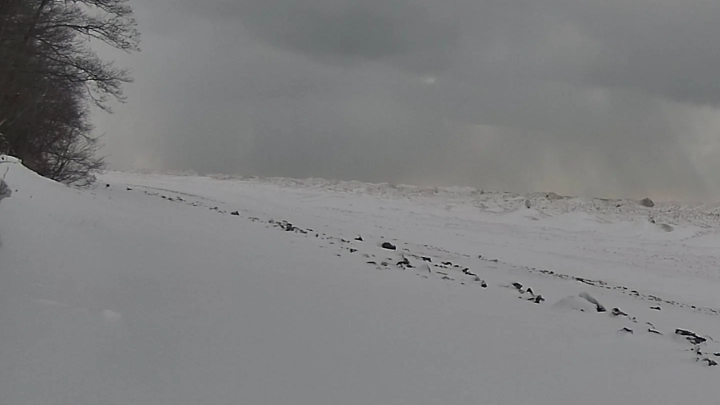
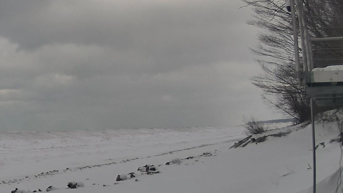
WSW View
Next 24 Hours
| Time | Conditions | Temp | Feels | Precip | Wind | Humidity |
|---|---|---|---|---|---|---|
| Wed 3am | ❄️ Snow Likely | 21° | 5° | 55% | 17.9 mph | 95% |
| Wed 4am | ❄️ Snow Likely | 21° | 7° | 70% | 17.9 mph | 92% |
| Wed 5am | ❄️ Snow Likely | 23° | 9° | 75% | 20.1 mph | 87% |
| Wed 6am | ❄️ Snow Likely | 25° | 10° | 75% | 20.1 mph | 86% |
| Wed 7am | ❄️ Snow Likely | 25° | 10° | 80% | 20.1 mph | 87% |
| Wed 8am | ❄️ Snow Likely | 25° | 12° | 75% | 20.1 mph | 87% |
| Wed 9am | ❄️ Snow Likely | 27° | 14° | 70% | 20.1 mph | 87% |
| Wed 10am | ❄️ Snow Likely | 28° | 16° | 65% | 17.9 mph | 87% |
| Wed 11am | 🌡️ Snow Possible | 28° | 16° | 35% | 20.1 mph | 83% |
| Wed 12pm | ☁️ Cloudy | 30° | 18° | 15% | 20.1 mph | 83% |
| Wed 1pm | 🌡️ Snow Possible | 30° | 18° | 25% | 20.1 mph | 84% |
| Wed 2pm | 🌡️ Snow Possible | 28° | 16° | 30% | 20.1 mph | 81% |
| Wed 3pm | ☁️ Cloudy | 28° | 16° | 15% | 20.1 mph | 80% |
| Wed 4pm | ☁️ Cloudy | 28° | 16° | 10% | 20.1 mph | 78% |
| Wed 5pm | ☁️ Cloudy | 28° | 16° | 10% | 22.4 mph | 75% |
| Wed 6pm | ☁️ Cloudy | 28° | 16° | 10% | 22.4 mph | 75% |
| Wed 7pm | 🌡️ Snow Possible | 28° | 16° | 25% | 22.4 mph | 75% |
| Wed 8pm | 🌡️ Snow Possible | 28° | 14° | 30% | 24.6 mph | 77% |
| Wed 9pm | 🌡️ Snow Possible | 28° | 14° | 45% | 24.6 mph | 76% |
| Wed 10pm | ❄️ Snow Likely | 28° | 16° | 50% | 24.6 mph | 76% |
| Wed 11pm | 🌡️ Snow Possible | 28° | 14° | 35% | 24.6 mph | 77% |
| Thu 12am | 🌡️ Snow Possible | 28° | 14° | 40% | 24.6 mph | 77% |
| Thu 1am | 🌡️ Snow Possible | 28° | 14° | 40% | 24.6 mph | 79% |
| Thu 2am | 🌡️ Snow Possible | 27° | 10° | 30% | 26.8 mph | 77% |
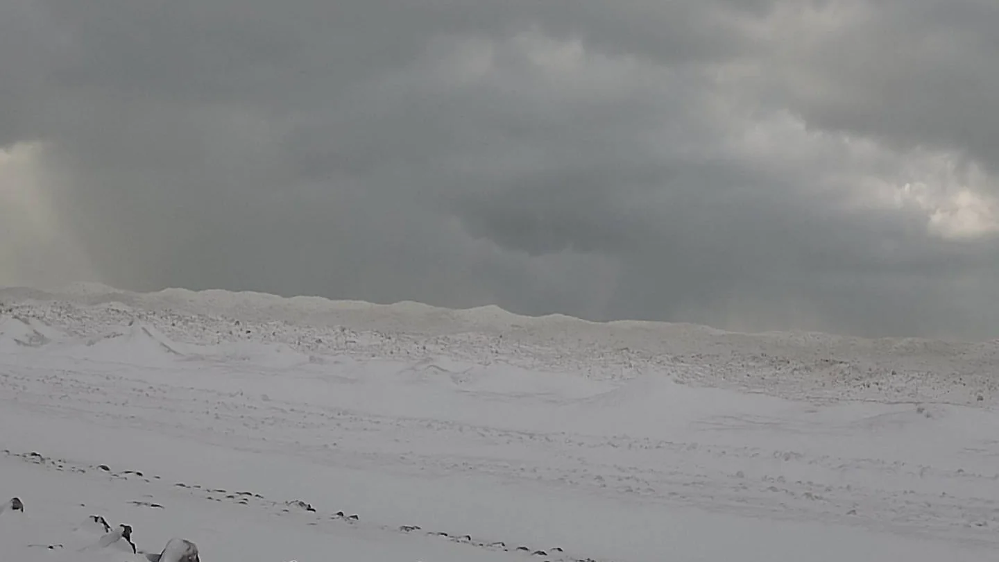
Center View
10-Day Forecast
| Day | Conditions | High | Low | Precip | Wind |
|---|---|---|---|---|---|
| Wed, Jan 21 | ❄️ Snow Likely | 30° | 14° | 80% (0") | 0 mph |
| Thu, Jan 22 | 🌡️ Snow Possible | 28° | 18° | 40% (0") | 0 mph |
| Fri, Jan 23 | ❄️ Snow Likely | 16° | 5° | 50% (0") | 0 mph |
| Sat, Jan 24 | 🌡️ Snow Possible | 10° | 1° | 40% (0") | 0 mph |
| Sun, Jan 25 | 🌡️ Snow Possible | 14° | 5° | 20% (0") | 0 mph |
| Mon, Jan 26 | 🌡️ Snow Possible | 18° | 10° | 20% (0") | 0 mph |
| Tue, Jan 27 | 🌡️ Snow Possible | 25° | 18° | 20% (0") | 0 mph |
| Wed, Jan 28 | 🌡️ Snow Possible | 21° | 19° | 30% (0") | 0 mph |
| Thu, Jan 29 | 🌡️ Snow Possible | 19° | 18° | 30% (0") | 0 mph |
| Fri, Jan 30 | ⛅ Partly Cloudy | 21° | 16° | 10% (0") | 0 mph |
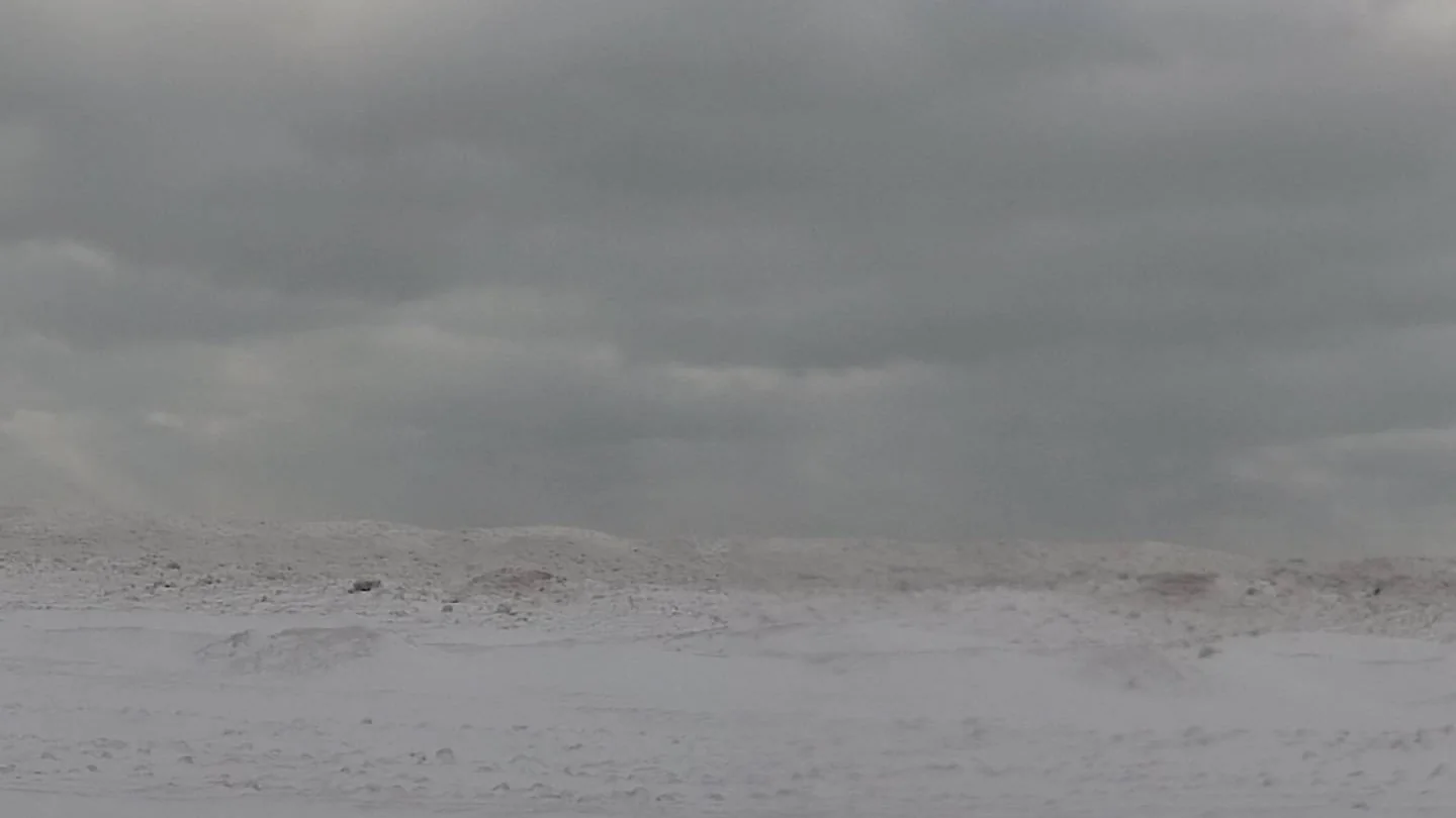
WNW View
Marine Forecast
🌧️ ❄️ 💨 🌊 REST OF TONIGHT
South winds 20 to 25 knots. Snow showers. Waves 4 to 6 feet.
🌧️ ❄️ 💨 🌊 WEDNESDAY
Southwest winds to 30 knots veering west in the late morning and afternoon. Snow showers. Waves 4 to 6 feet.
🌧️ ❄️ 🌬️💨 🌊 WEDNESDAY NIGHT
West gales to 40 knots. Snow showers. Freezing spray. Waves 7 to 11 feet.
NW View
Extended Forecast
🌧️ ❄️ WEDNESDAY NIGHT
Snow showers likely. Snow accumulation 1 to 3 inches. Lows 15 to 20. West winds 10 to 15 mph with gusts to around 35 mph. Chance of snow 70 percent.
🌧️ ❄️ ☁️ THURSDAY
Mostly cloudy with a 50 percent chance of snow showers. Highs in the lower 20s. West winds 10 to 15 mph with gusts to around 35 mph.
🌧️ ❄️ THURSDAY NIGHT
Snow showers. Snow accumulation an inch or less. Lows zero to 5 above. West winds 10 to 15 mph with gusts to around 35 mph. Chance of snow 80 percent. Wind chill readings as low as 4 below to 14 below zero after midnight.
🌧️ ❄️ FRIDAY
Snow showers likely. Highs 5 to 10 above. Chance of snow 70 percent.
🌧️ ❄️ ☁️ FRIDAY NIGHT
Mostly cloudy with a 50 percent chance of snow showers. Lows near 5 below.
🌧️ ❄️ ☁️ SATURDAY
Mostly cloudy with a 40 percent chance of snow showers. Highs 5 to 10 above.
🌧️ ❄️ ☁️ SATURDAY NIGHT
Mostly cloudy with a 40 percent chance of snow showers. Lows near zero.
🌧️ ❄️ ☁️ SUNDAY
Mostly cloudy with a 50 percent chance of snow showers. Highs near 15.
🌧️ ❄️ 🌙⛅ SUNDAY NIGHT
Partly cloudy with a 50 percent chance of snow showers. Lows zero to 5 above.
🌧️ ❄️ ☀️ MONDAY
Partly sunny with a 30 percent chance of snow showers. Highs 15 to 20.
🌧️ ❄️ 🌙⛅ MONDAY NIGHT
Partly cloudy with a 20 percent chance of snow showers. Lows 5 to 10 above.
🌧️ ❄️ ☀️ TUESDAY
Partly sunny with a 30 percent chance of snow showers. Highs in the lower 20s.